"Libya is washed on all sides by the sea except where it joins Asia, as was first demonstrated, so far as our knowledge goes, by the Egyptian king Necho, who, after calling off the construction of the canal between the Nile and the Arabian gulf, sent out a fleet manned by a Phoenician crew with orders to sail west about and return to Egypt and the Mediterranean by way of the Straits of Gibraltar. The Phoenicians sailed from the Arabian gulf into the southern ocean, and every autumn put in at some convenient spot on the Libyan coast, sowed a patch of ground, and waited for next year's harvest. Then, having got in their grain, they put to sea again, and after two full years rounded the Pillars of Heracles in the course of the third, and returned to Egypt. These men made a statement which I do not myself believe, though others may, to the effect that as they sailed on a westerly course round the southern end of Libya, they had the sun on their right - to northward of them. This is how Libya was first discovered by sea."Only recently because of recent boat finds that could not be ignored, such as those at Abydos, or the shipwreck of Uluburun, has the archaeological community been forced to make quantum changes in previously inert, unsubstantiated and outdated archaeological views about ancient seafaring.
- Herodotus, The Histories 4.42, translated by Aubrey de Selincourt
"When the power of Carthage flourished, Hanno sailed round from Cádiz to the extremity of Arabia, and published a memoir of his voyage of his voyage, as did Himilco when he was dispatched at the same date to explore the outer coasts of Europe."
- Pliny the Elder, Natural history 2.169a
This neglect is arguably to be traced to the fact that seafaring and navigation (by astronomy or otherwise), are not specialties of archaeology per se and so these ancient accounts have been ignored or viewed as fantasy in eras where in fact people did not have the luxury or time to write fiction in stone, the first novel having been written as Don Quixote in our modern day and age by Cervantes.
Even today, archaeologists prefer to speculate about "social contexts" rather than dealing with the hands down implications of the fact that ancient vessels were made for transport and travel. Everything we now know about these ancient boats clearly supports previously discredited ancient seafaring tales.
Simple logic should have told the archaeologists that you can not write fiction about traveling the west coast of Africa or circumnavigating Africa in ancient days without also previously knowing that Africa is a continent surrounded by water and thus amenable to such navigation attempts, a knowledge before the fact which itself presumes previous navigation to Africa by someone.
Those versed in seafaring or astronomical navigation are more likely to see that ancient seafaring accounts reflect actual journeys or attempted journeys.
One needs only examine the no fewer than 14 (fourteen!) Abydos boats of Pharaonic Egypt (ca. 3000 BC) to recognize that such sophisticated boats were not initially built for one king's tomb decoration or for his transport to the afterlife, but were made to be used on navigable waterways, and by their size they surely were also suitable for coastal transport.
Archaeologists were reportedly "amazed" at the sophistication of the boats found at Abydos. We are "amazed" that archaeologists were previously so unaware of the sophisticated seafaring nature of early Pharaonic civilization, as this has long been in evidence -- to everyone who wanted to look -- on predynastic rock drawings in the wadis.
We link to an image by Per Storemyr at Per Storemyr Archaeology and Conservation in The Palaeolithic rock art in Wadi Abu Subeira, Egypt: Landscape, archaeology, threats and conservation: The Predynastic and later rock art (From c. 4.000 BC):

Late Predynastic boat at site CAS-2 in Wadi Abu Subeira. Photo: Per Storemyr
Such rock drawings are clearly not "funerary" in nature. Rather, they depict a seafaring civilization. Boats could only have obtained a subsequent funerary significance if they had been important to actual Pharaonic life. See also the "stone ships" of Scandinavia and the astronomical petroglyphs of Tanum.
Indeed, we think the 14 Abydos boats, buried individually and separately from any tomb, are far more in number than necessary to be simple funerary ornaments for a single king (even Cheops had only 2), but were enshrined on their own account to honor some ancient feat of navigation or to honor those who achieved that feat.
Indeed, the National Geographic account of the discovery of the boats reads:
"[E]ach [is] buried in its own brick-lined tomb adjacent to the enclosure of a still unknown king. The boats, which measured up to 75 feet (23 meters) long, were expertly crafted and had been fully functional when buried. They proved to be the world's oldest surviving boats built of planks (as opposed to those made of reeds or hollowed-out logs)."Well, if they were buried outside some alleged king's tomb, they can hardly have been used for his transport to the afterlife.
Francesco Raffaele has images and a posting at Early Dynastic Funerary boats at Abydos North, writing:
"Their age should be more than 400 years older than Khwfw's (Cheops) and, although found nearby the vast enclosure (Shunet ez Zebib) of Khasekhemwy, it appears possible that they belong to the second king of the first dynasty, Horus AHA, owner of Umm el Qa'ab tombs B19."
If we now look to larger Africa beyond Egypt, we have several historical accounts of seafaring history. Of interest to us here is the Periplus of Hanno, an allegedly Carthaginian-Phoenician voyage which clearly describes an active volcano viewed during the voyage. WHEN, according to the geologists, could that have occurred on the scale described in the periplus. Surely it could have been much earlier for a story perhaps repeated for generations.
See our map of this voyage below as imposed upon our map of the main megalithic sites in Africa:

The Periplus of Hanno in red on a map of the main megalithic sites of Africa.
As concluded by Livio Catullo Stecchini in the best analysis of that voyage as found online at metrum.org, this volcano can only be Mount Cameroon.
One must note that there is a very active volcanic linear rift zone -- known as the Cameroon Line, a 1,000 km (620 mi) chain of volcanoes -- which is close to the volcanic area that may have been primarily responsible for the split of South America from Africa millions of years ago (see the map below).
Michael Clayton Wilson, Department of Geology and Geophysics, University of Calgary, in Geoarchaeology and Archaeological Visibility in the Northern Mandara Mountains and Mora Plain (Cameroon): Preliminary Results, has the following map at page 20, which we reproduce here as a scan:

Map scanned from Michael Clayton Wilson, as cited above, published here as fair use.
The "black blots" in the map above are labeled Cenozoic volcanics by Wilson.
Those that interest us particularly are:
- the black blot marked "Mt. Cameroon", and
- the black blot to the lower southwest it, above the word "LINE" in the map, which is today Bioko Island (also written Bioco, earlier called Fernando Po or Fernando Póo).
- Note that the lower black dots SW of Bioko on the Cameroon Line are the two islands of "São Tomé and Príncipe", which together today form one democratic republic, whereas the island of Bioko, with its highest mountain Pico Basilé, is a part of Equatorial Guinea.

Bioko's Pico Basilé (formerly Pico de Santa Isabel, 3011 meters, 9878 feet)
Bioko Island photo above is by Normann at Flickr,
Bioko Island photo above is by Normann at Flickr,

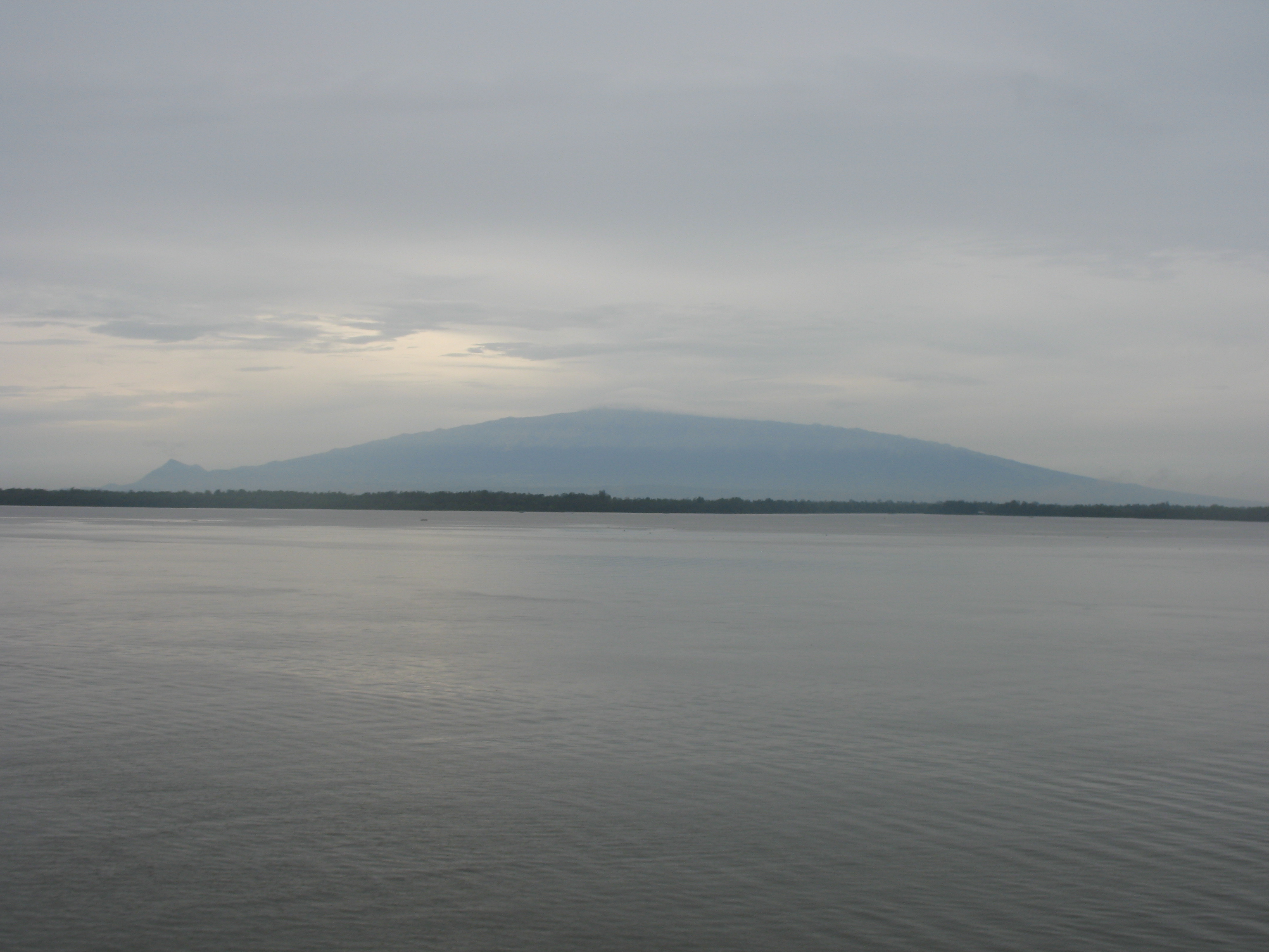
Mount Cameroon (opposite Pico Basilé across the Gulf of Guinea).
http://photos.wikimapia.org/p/00/04/41/33/40_full.jpg
Photo by Lehaseaman at Wikimapia.org
http://wikimapia.org/3731287/de/Kamerunberg#/photo/4413340
http://photos.wikimapia.org/p/00/04/41/33/40_full.jpg
Photo by Lehaseaman at Wikimapia.org
http://wikimapia.org/3731287/de/Kamerunberg#/photo/4413340
Mount Cameroon is West Africa's highest peak (4040 meters, 13255 feet)
and its most active volcano, last erupting in March 28, 1999 and May 28, 2000.
For detailed infor and photos, see also https://routes.tips/blog/mount_cameroon
Indeed, as written at the New York Times by Donald G. McNeil Jr. in Precursor to H.I.V. Was in Monkeys for Millenniums:
"Bioko used to be the end of a peninsula attached to the mainland in what is now Cameroon, but it was cut off when sea levels rose 10,000 years ago at the end of the last ice age....
And the same is true for the Bioko humans, with a small twist. In A tale of two islands : population history and mitochondrial DNA sequence variation of Bioko and Sao Tome, Gulf of Guinea, a team of authors (E. Mateu, D. Comas, F. Calafell F, A. Pérez-Lezaun, A. Abade, J. Bertranpetit -- Laboratori d'Antropologia, Facultat de Biologia, Universitat de Barcelona, Catalonia, Spain) write in the Abstract of the article that:Since then, six monkey species have developed in isolation on the island...."
"The hypervariable segment I of the control region of the mtDNA was sequenced in 45 unrelated individuals from Bioko and 50 from São Tomé, two islands in the Gulf of Guinea that have had very different settlement patterns: Bioko was colonized around 10000 BP, while São Tomé was first settled by the Portuguese, who brought African slaves to the island. Two different patterns of sequence variation are evident and are also clearly a consequence of their very different demographic histories. The Bubi present a low genetic diversity and it is likely that the island was colonized by a small number of individuals with small later migration. São Tomeans might be considered a subset of a mainland African population relocated to the island. They present high genetic diversity with a high number of sequences being shared with many continental populations. This study, with knowledge of the population history in island populations, strengthens the genetic approach to unravel past demographic events."In the text of the article (Wiley Online Library) they write:
"The island was first colonized 10000 years BP (Vara & Bolekia, 1993), at the end of the last glacial period. Around 2000 years BP, farming, and possibly a Bantu language, were introduced to the island (Martın del Molino, 1993)." [emphasis added]That date of 2000 years ago is -- we think rightly -- contradicted in A Dictionary of Archaeology by Ian Shaw and Robert Jameson, where we find written as follows about Central Africa and Bioko (Africa, p. 31):
"The beginnings of the expansion of of Niger-Congo speakers of the Bantu Super-Family into Central Africa has been placed by historical linguists at around uncal [uncalibrated] 4000 BP. The current consensus is that the core area for this expansion may be found in the Cameroon grassfields. It would seem that the first Bantu-speaking immigrants into Central Africa arrived before the beginnings of metallurgy, but with ceramics, polished stone tools and small livestock. The initial population movements could have been encouraged by the beginnings of the recent arid phase around uncal 4500 BP -- opening savanna corridors into the rainforest. Additionally, it would seem that some migration was maritime (between southern Cameroon, Equatorial Guinea, and Gabon), since the island of Bioko was occupied by local seafarers around uncal 4000 BP (Vansina 1990; Clist 1995)." [emphasis added]Ibrahim Sundiata in Equatorial Guinea: Colonialism, State Terror and the Search for Stability writes:
Obviously, the local Bubi of Bioko adopted the megaliths as their own and used them according to their own cultural needs, whereas this says nothing in terms of their being evidence of the actual earlier origin of the megaliths."Venerated erect-standing stones are, indeed, still found throughout the island. These stones, however, did not serve as the image of a diety, but rather the image of spiritual energy -- energy essential to the fecundity and vitality of the locale. During the nineteenth century many people moved to new zones for reasons of trade and abandoned the menhirs in their region. Later, when many were rediscovered, the Bubi averred that the stones had not been erected by humans, but, instead, were signs from the spirits. Many menhirs were located at commercial crossroads and places for palavers."Sacred stones had three functions: they were places where this world encountered the world of the spirits; places that acknowledged the presence of the earth goddess, and places that marked the initial settlement of families. ... Memorial stones are especially abundant in places like Batete, Moka (formerly Riabba,) Ureka and Ombori. At times there was only one stone, which represented the founding male. At times there were two, representing the founding couple. In other cases there was a third, smaller, stone which represented "basoome" (children). Because the menhirs were exposed to the elements, small chapels were built close to them for the maintenance of perpetual fires. The chapel was marked by small stones, and the sacred precinct was protected by rites of purification. The principal function of rites before "earth-mother" monoliths was to insure agricultural and human reproduction."
Bioko is known by few today, but in earlier years the island was known as Fernando Po viz. Fernando Póo and my significant other recalled these lines from her Spanish classes:
Es el sol de hiero que arde en Tombuctú
Es la danza negra de Fernando Póo
El cerdo en el fango gruñe: pru-pru-prú
Those lines stem from a poem, Danza Negra, by Luis Palés Matos of Puerto Rico, which today is performed in music as a song, for example, by Lucecita (also Lucesita) Benítez and the Puerto Rico Symphony Orchestra under the direction of Roselín Pabón (see YouTube). See the Julio Marzán translation.
Bioko and Mount Cameroon were surely points of contact in the Periplus of Hanno, more-or-less at the farthest extension of their journey.
The problem with the accounts of the voyages of Neccho II, Hanno and Himilco is that purportedly no trace of their colonies or any other evidence of their voyages has been found by the archaeologists, who so often are looking for things in the wrong era. What is quite clear is that these voyages occurred long beforehand and incomplete accounts of them were handed down over the passage of time. Evidence of contact IS PRESENT, just earlier than 500 BC.
What about the Voyage of Himilco to Europe? Recent Stonehenge research has even found Mediterranean-like axe marks on the megaliths. See 3D laser scan of Stonehenge reveals axehead graffiti at Dienekes' Anthropology Blog.
Here is what we wrote some years ago (with some subsequent editing). It is of course VERY speculative material, but the main idea is that researchers are not looking back far enough for evidence of ancient seafaring journeys:
"Legends of the Scots, Welsh and Irish claim that there was influx to the British Isles from the Mediterranean Sea in ancient days and that the ancient kings of Britain were related to the Pharaohs.
In recent years Norse-type longboats capable of sea voyages have been found at Abydos in Egypt, dating to ca. 3000 BC.
What is the significance of these boats?Updated on February 26, 2019.
Was there some kind of technology exchange at this time?
There is much similarity between the stone work on the Orkneys, for example, and the pyramids, both showing corbelling and cladding technology not in evidence elsewhere on cultural Earth at this time. That technology is first found at the Orkneys, not at the pyramids.
In this regard, see the
Argonautica of Apollonius Rhodius at
http://sunsite berkeley.edu/OMACL/Argonautica/
and
Bulfinch's Mythology at http://www.bulfinch.org/fables/bull17.html
where it is written as follows:
"There was another kingdom in Thessaly near to that of Athamas, and ruled over by a relative of his. The king AEson, being tired of the cares of government, surrendered his crown to his brother Pelias on condition that he should hold it only during the minority of Jason, the son of AEson. When Jason was grown up and came to demand the crown from his uncle, Pelias pretended to be willing to yield it, but at the same time suggested to the young man the glorious adventure of going in quest of the Golden Fleece, which it was well known was in the kingdom of Colchis, and was, as Pelias pretended, the rightful property of their family. Jason was pleased with the thought and forthwith made preparations for the expedition. At that time the only species of navigation known to the Greeks consisted of small boats or canoes hollowed out from trunks of trees [this puts the date back to several millennia prior to strongly navigational Hellenistic Greece], so that when Jason employed Argus to build him a vessel capable of containing fifty men, it was considered a gigantic undertaking [and one needed previous technology]. It was accomplished, however, and the vessel named "Argo," from the name of the builder.... Jason sent his invitation to all the adventurous young men of Greece, and soon found himself at the head of a band of bold youths, many of whom afterwards were renowned among the heroes and demigods of Greece. Hercules, Theseus, Orpheus, and Nestor were among them. They are called the Argonauts, from the name of their vessel." [emphasis added] [we also note: argos in our opinion actually meant "Earth, Clay" and the Argonauts may have been "the first surveyors of the Earth".]"


 -----
-----
